Archaeological lidar in Greece: a summary of recent work
DOI:
https://doi.org/10.32028/jga.v10i.3338Abstract
of whole cities or previously unknown regional systems of settlement in the Maya Lowlands, the Amazon, and the jungles of southeast Asia have made headlines and gripped the popular imagination, as in well-known examples from Caracol in Belize or Angkor Wat in Cambodia. Mediterranean applications have received less acclaim, but are no less significant for understanding
past landscapes. High-resolution elevation models and the unique ability of lidar to ‘see’ beneath vegetation offer archaeologists the opportunity to detect and map subtle variations in the landscape and features that may otherwise go unnoticed, often over large areas.
In what follows, I provide some introduction to lidar-based archaeological research, a summary of published and ongoing work in Greece, and some key considerations for how this work may fit into wider dialogues concerning archaeological remote sensing as we move forward. Many of these topics are relevant for survey archaeologists working elsewhere as well. I argue that lidar holds tremendous potential for archaeological research in Greece, especially at a regional scale. Several innovative projects are well underway, but collective research agendas remain nascent. Archaeologists now have a crucial opportunity to work toward certain shared goals and deploy a common set of standards for good practice, related to methodological transparency and the generation of accessible and comparable datasets, both in publication and in archival practices.
References
Abate, N., D. Roubis, A. Aggeli, M. Sileo, A.M. Amodio, V. Vitale, A. Frisetti, M. Danese, P. Arzu, F. Sogliani, R. Lasaponara and N. Masini 2025. An opensource machine learning–based methodological approach for processing high-resolution UAS LiDAR data in archaeological contexts: a case study from Epirus, Greece. Journal of Archaeological Method and Theory 32: 38. https:// doi.org/10.1007/s10816-025-09706-8.
Adamopoulos, E., E.E. Papadopoulou, M. Mpia, E.O. Deligianni, G. Papadopoulou, D. Athanasoulis, M. Konioti, M. Koutsoumpou and C.N. Anagnostopoulos 2023. 3D survey and monitoring of ongoing archaeological excavations via terrestrial and drone lidar. ISPRS Annals of Photogrammetry, Remote Sensing, and Spatial Information Sciences X-M-1: 3–10.
Agapiou, A., A. Dakouri-Hild, S. Davis, E. Andrikou and W. Rourk 2022. The Kotroni Archaeological Research Project (KASP): evaluating ancient Aphidna using multimodal landscape analysis. Journal of Greek Archaeology 7: 413–434.
Attema, P., J. Bintliff, M. van Leusen, P. Bes, T. de Haas, D. Donev, W. Jongman, E. Kaptijn, V. Mayoral, S. Menchelli, M. Pasquinucci, S. Rosen, J. García Sánchez, L. Gutierrez Soler, D. Stone, G. Tol, F. Vermeulen and A. Vionis 2020. A guide to good practice in Mediterranean surface survey projects. Journal of Greek Archaeology 5: 1-62.
Bennett, R. and D. Cowley (eds) 2025. Guidelines for the Use of Airborne Laser Scanning (Lidar) in Archaeology (EAC Guidelines 10). Brussels: European Archaeological Council. https://doi. org/10.5281/zenodo.14609210 Bintliff, J. 1994. The history of the Greek countryside: as the wave breaks, prospects for future research, in P.N. Doukellis and L.G. Mendoni (eds) Structures rurales et sociétés antiques. Actes du colloque de Corfou (14-16 mai 1992): 7–16. Besançon: Université de Franche-Comté.
Campana, S. 2016. Sensing ruralscapes: third-wave archaeological survey in the Mediterranean area, in M. Forte and S. Campana (eds) Digital Methods and Remote Sensing in Archaeology: Archaeology in the Age of Sensing: 113-145. Berlin: Springer.
Canuto, M.A., F. Estrada-Belli, T.G. Garrison, S.D. Houston, M.J. Acuña, M. Kováč, D. Marken, P. Nondédéo, L. Auld-Thomas, C. Castanet, D. Chatelain, C.R. Chiriboga, T. Drápela, T. Lieskovsky, A. Tokovinine, A. Velasquez, J.C. Fernández-Díaz and R. Shrestha 2018. Ancient lowland Maya complexity as revealed by airborne laser scanning of northern Guatemala. Science 361 (6409): eaau0137.
Character, L., T. Beach, T. Inomata, T.G. Garrison, S. Luzzadder-Beach, J.D. Baldwin, R. Cambranes, F. Pinzón and J.L. Ranchos 2024. Broadscale deep learning model for archaeological feature detection across the Maya area. Journal of Archaeological Science 169: 106022.
Chase, A.F., D.Z. Chase, J.F. Weishampel, J.B. Drake, R.L. Shrestha, K.C. Slatton, J.J. Awe and W.E. Carter 2011. Airborne LiDAR, archaeology and the ancient Maya landscape at Caracol, Belize. Journal of Archaeological Science 38: 387–98.
Cherry, J.F. 1994. Regional survey in the Aegean: the ‘new wave’ (and after), in P.N. Kardulias (ed.) Beyond the Site: Regional Studies in the Aegean Area: 91–112. Landham, MD: University Press of America.
Chountoulesis, C. 2022. Αυτόματη χαρτογράφηση αναβαθμίδων με αντικειμενοστραφή ανάλυση τηλεπισκοπικών δεδομένων LiDAR και ορθοφωτογραφίας: Περιοχή μελέτης Νήσος Ύδρα. Unpublished PhD dissertation, National Technical University of Athens.
Curtius, E. and J.A. Kaupert 1895-1903. Karten Von Attika. Berlin: Reimer.
Davis, D.S., D. Buffa, T. Rasolondrainy, E. Creswell, C. Anyanwu, A. Ibirogba, C. Randolph, A. Ouarghidi, L.N. Phelps, F. Lahiniriko, Z.M. Chrisostome, G. Manahira and K. Douglass 2021. The aerial panopticon and the ethics of archaeological remote sensing in sacred cultural spaces. Archaeological Prospection 28: 305–320.
Davis, D.S. and M.C. Sanger 2021. Ethical challenges in the practice of remote sensing and geophysical archaeology. Archaeological Prospection 28: 271- 278.
de Haas, T.C.A. and M. van Leusen 2020. FAIR survey: improving documentation and archiving practices in archaeological field survey through CIDOC CRM. FOLD&R Archaeological Survey 12: http://www.fastionline.org/docs/FOLDERsur- 2020-12.pdf.
Doneus, M. and C. Briese 2011. Airborne laser scanning in forested areas – potential and limitations of an archaeological prospection technique. Remote Sensing for Archaeological Heritage Management 3: 59–76.
Doneus M., N. Doneus, C. Briese, M. Pregesbauer, G. Mandlburger and G. Verhoeven 2013. Airborne Laser Bathymetry – detecting and recording submerged archaeological sites from the air. Journal of Archaeological Science 4: 2136–2151.
Doneus, M., N. Doneus and D. Cowley 2022. Confronting complexity: interpretation of a dry stone walled landscape on the island of Cres, Croatia. Special issue: Landscape Archaeology by Using Remote Sensing Data. Land 11: 1672. https.//doi.org/10.3390/land11101672 JGA 10: Lidar and Landscapes in the Archaeology of Greece conference papers
Evans, D.H., R.J. Fletcher, C. Pottier, J-B. Chevance, D. Soutif, B.S. Tan, S. Im, D. Ea, T. Tin, S. Kim, C. Cromarty, S. De Greef, D. Hanus, P. Bâty, R. Kuszinger, I. Shimoda, G. Boornazian 2013. Uncovering archaeological landscapes at Angkor using lidar. Proceedings of the National Academy of Sciences 110: 12595–600.
Fachard, S., A. Simosi, T. Krapf, T. Saggini, O. Kyriazi, J. André, C. Chezeaux, D. Greger, S. Verdan and T. Theurillat 2023. Fieldwork of the Swiss School of Archaeology in Greece 2022. The Artemision at Amarynthos: the 2022 season. Antike Kunst 66: 93-104.
Fernandez-Diaz, J., W. Carter, C. Glennie, R. Shrestha, Z. Pan, N. Ekhtari, A. Singhania, D. Hauser and M. Sartori 2016. Capability assessment and performance metrics for the Titan multispectral mapping lidar. Remote Sensing 8(11): 936.
Fisher, M., M. Fradley, P. Flohr, B. Rouhani and F. Simi 2021. Ethical considerations for remote sensing and open data in relation to the endangered archaeology in the Middle East and North Africa project. Archaeological Prospection 28: 279–292.
Fontana, G. 2022. Italy’s hidden hillforts: a largescale lidar-based mapping of Samnium. Journal of Field Archaeology 47: 245–261.
Fontana, G. 2025. Issues of sampling and representativeness in large-scale LiDAR-derived archaeological surveys in Mediterranean contexts. Archaeological Prospection. 32: 103–117.
Garrison, T.G., S. Houston and O. Alcover Firpi 2019. Recentering the rural: lidar and articulated landscapes among the Maya. Journal of Anthropological Archaeology 53:133–146.
Garrison, T.G., A.E. Thompson, S. Krause, S. Eshleman, J.C. Fernandez-Diaz, J.D. Baldwin and R. Cambranes 2023. Assessing the lidar revolution in the Maya Lowlands: a geographic approach to understanding feature classification accuracy. Progress in Physical Geography 47: 270–292.
Guyot, A., M. Lennon, T. Lorho and L. Hubert-Moy 2021. Combined detection and segmentation of archeological structures from LiDAR data using a deep learning approach. Journal of Computer Applications in Archaeology 4: 1–19.
Haagsma, M.J., S. Karapanou, M. Aiken, G. Canlas, M. Chykerda, E. Middleton et al. 2025 The Central Achaia Phthiotis Survey (CAPS): results of the 2023-2024 seasons. Paper presented at the 126th Annual Meeting of the Archaeological Institute of America, Philadelphia, 2–5 January 2025.
Inomata, T. 2024. Lidar, space and time in archaeology: promises and challenges. Annual Review of Anthropology 53: 75–92.
Inomata, T., F. Pinzón, J.L. Ranchos, T. Haraguchi, H. Nasu, J.C. Fernandez-Diaz, K. Aoyama and H. Yonenobu 2017. Archaeological application of airborne LiDAR with object-based vegetation classification and visualization techniques at the Lowland Maya site of Ceibal, Guatemala. Remote Sensing 9(6): 563.
Johnson, K.M., T.H. Ives, W.B. Ouimet and S.P. Sportman 2021. High-resolution airborne Light Detection and Ranging data, ethics and archaeology: considerations from the northeastern United States. Archaeological Prospection 28: 293–303.
Karamitrou, A., M. Kylafi, A. Stampolidis, E. Militsi, A. Kazolias, G. Tsokas, V. Panagiotidis and N. Zacharias 2024. The Pylos geoarchaeological program: fusion of images towards understanding ancient landscape. Scientific Culture 10(2): 35–48.
Knodell, A.R. 2021. Societies in Transition in Early Greece: An Archaeological History. Oakland: University of California Press.
Knodell, A.R. 2025. Survey and landscape archaeology in Greece in the 21st century. Archaeological Reports 71.
Knodell, A.R., D. Athanasoulis, J.F. Cherry, M. Giannakopoulou, E.I. Levine, D. Nenova, H.Ç. Öztürk and Z. Papadopoulou 2025. A regional survey of the uninhabited islands of the western Cyclades: the Small Cycladic Islands Project 2021–2022. Hesperia 94(4): 619–717.
Knodell, A.R., D. Athanasoulis, Ž. Tankosić, J.F. Cherry, T.K. Garonis, E.I. Levine, D. Nenova and H.Ç. Öztürk 2022. An island archaeology of uninhabited landscapes: offshore islets near Paros, Greece (the Small Cycladic Islands Project). Journal of Island and Coastal Archaeology 17: 475–511.
Knodell, A.R., T.C. Wilkinson, T.P. Leppard and H.A. Orengo 2023. Survey archaeology in the Mediterranean world: regional traditions and contributions to long-term history. Journal of Archaeological Research 31: 263–329.
Kokalj, Ž., S. Džeroski, I. Šprajc, J. Štajdohar, A. Draksler and M. Somrak 2023. Machine learningready remote sensing data for Maya archaeology. Scientific Data 10: 558.
Kokalj, Ž. and M. Somrak. 2019. Why not a single image? Combining visualizations to facilitate fieldwork and on-screen mapping. Remote Sensing 11: 747.
Korres, M. 1995. From Pentelicon to the Parthenon. Athens: Melissa.
Laugier, E.J. and J. Casana 2021. Integrating satellite, UAV, and ground-based remote sensing in archaeology: an exploration of pre-modern land use in northeastern Iraq. Remote Sensing 13: 5119.
Lozić, E. and B. Štular 2021. Documentation of archaeology – specific workflow for airborne LiDAR data processing. Geosciences 11: 26.
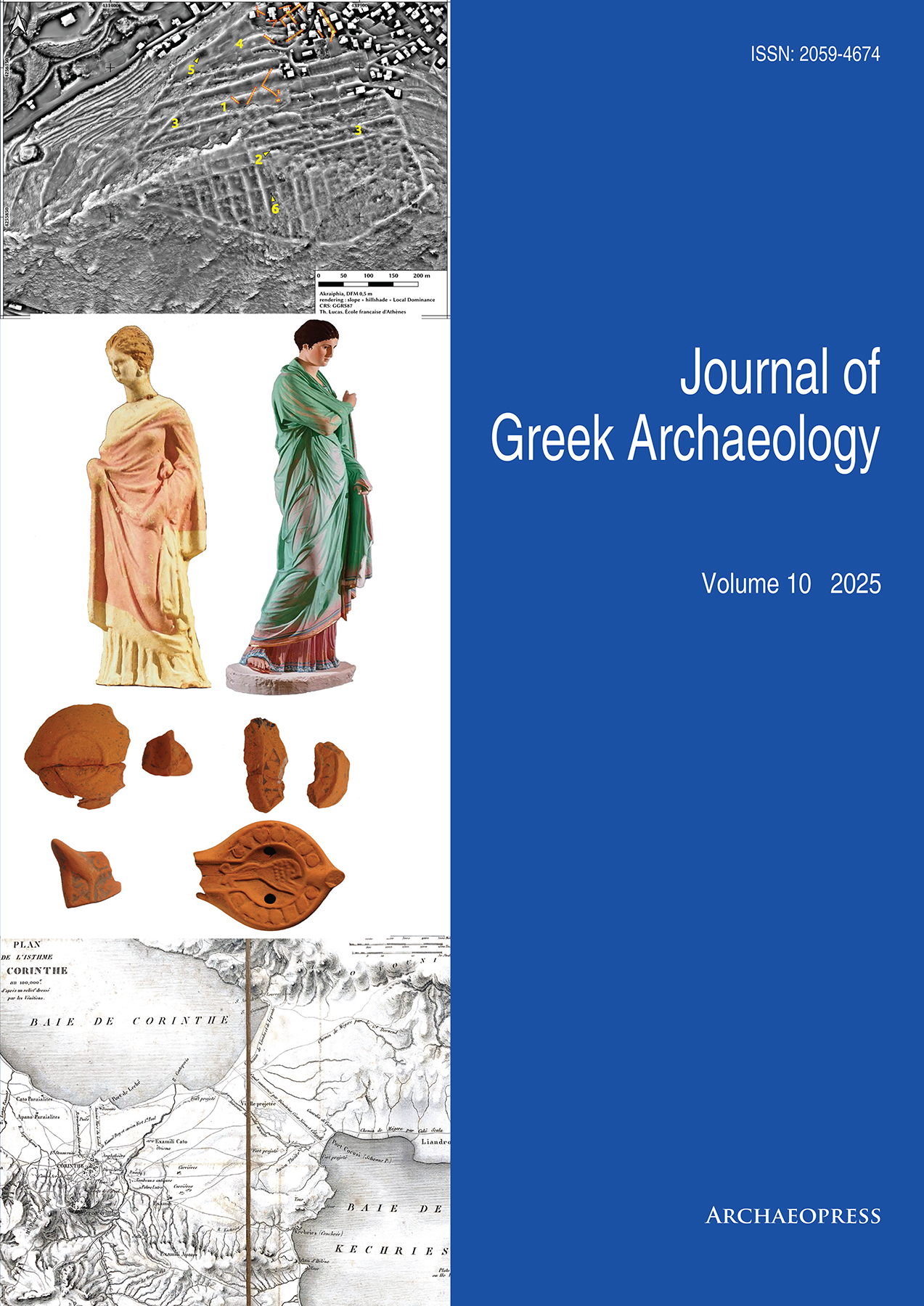
Lucas, T. and J. García Sánchez 2022. Opération LiDAR à Akraiphia et au Val des Muses, Béotie (2021). Bulletin archéologique des Écoles françaises à l’étranger (online).
Luetzenburg, G., A. Kroon and A.A. Bjørk 2021. Evaluation of the Apple iPhone 12 Pro LiDAR for an application in geosciences. Scientific Reports 11: 22221.
Lupack, S., B. Weissova, M. Skuse, S.A. Ross, A. Sobotkova and P. Kasimi forthcoming. Perachora Peninsula Archaeological Project: report on the 2024 season. MeditArch.
Matsas, D., N. Hudson, A. Laftsidis, E. Levine, G. Makris and M. Page 2023. Samothrace Archaeological Survey (SAS) 1985–1987 revisited: towards a final publication, in A. Avramidou and J.C. Donati (eds) Surveying Aegean Thrace in the Digital Era: Proceedings of the Workshop held for the Research Project Archaeological and Geophysical Research at the Peraia of Samothrace (HFRI-FM17-750): 29–69. Komotini: Democritus University of Thrace.
Mazzacca, G., E. Grilli, G.P. Cirigliano, F. Remondino and S. Campana 2022. Seeing among foliage with lidar and machine learning: towards a transferable archaeological pipeline. The International Archives of the Photogrammetry, Remote Sensing and Spatial Information Sciences XLVI-2/W1-2022: 365–372.
Morris, S., J.K. Papadopoulos, M. Bessios, A. Athanassiadou and K. Noulas 2020. The Ancient Methone Archaeological Project: A Preliminary Report on Fieldwork, 2014–2017. Hesperia 89(4): 659–723.
Olivier, M. and W. Verschoof-van Der Vaart 2021. Implementing state-of-the-art deep learning approaches for archaeological object detection in remotely-sensed data: the results of crossdomain collaboration. Journal of Computer Applications in Archaeology 4: 274–289.
Opitz, R.S. 2013. An overview of airborne and terrestrial laser scanning in archaeology, in R.S. Opitz and D.C. Cowley (eds) Interpreting Archaeological Topography: 3D Data, Visualisation and Observation: 13–31. Oxford: Oxbow Books.
Opitz, R.S. and D.C. Cowley (eds) 2013. Interpreting Archaeological Topography: 3D Data, Visualisation and Observation. Oxbow Books.
Richards-Rissetto, H., D. Newton and A. Al Zadjali 2021. A 3d point cloud deep learning approach using lidar to identify ancient Maya archaeological sites. ISPRS Annals of the Photogrammetry, Remote Sensing and Spatial Information Sciences 8: 133–139 (online).
Rönnlund, R. 2024. Habbo G. Lolling at Melitaia: the antiquities of an ancient city through the lens of two 1882 notebooks. Grifos 3: 6–31.
Somrak, M., S. Džeroski and Ž. Kokalj 2020. Learning to classify structures in ALS-derived visualizations of ancient Maya settlements with CNN. Remote Sensing 12: 2215.
Sporn, K. 2022. Phokis im Fokus. Siedlungs- und Landschaftsarchäologie im Kephissostal. Archäologie Weltweit 1: 25–31.
Štular, B., S. Eichert and E. Lozić 2021a. Airborne LiDAR point cloud processing for archaeology: pipeline and QGIS toolbox. Remote Sensing 13: 3225.
Štular, B., E. Lozić and S. Eichert 2021b. Airborne LiDAR-derived digital elevation model for archaeology. Remote Sensing 13: 1855.
Takhtkeshha, N., G. Mandlburger, F. Remondino and J. Hyyppä 2024. Multispectral light detection and ranging technology and applications: a review. Sensors 24 (5): 1669.
Vilbig, J.M., D. Sagan and C. Bodine 2020. Archaeological surveying with airborne LiDAR and UAV photogrammetry: a comparative analysis at Cahokia Mounds. Journal of Archaeological Science: Reports 33: 102509.
Vinci, G., F. Vanzani, A. Fontana and S. Campana 2025. LiDAR applications in archaeology: a systematic review. Archaeological Prospection 32: 81–101.
Wescoat, B. 2017. Samothrace: Excavations Conducted by the Institute of Fine Arts of New York University: Vol. 9, The Monuments of the Eastern Hill. Princeton: American School of Classical Studies.
White, D.A. 2013. LIDAR, point clouds and their archaeological applications. In D.C. Comer and M. Harrower (eds) Mapping Archaeological Landscapes from Space: 175–186. New York: Springer.
Zakšek, K., K. Oštir and Ž. Kokalj 2011. Sky-view factor as a relief visualization technique. Remote Sensing 3(2): 398-415.
Downloads
Published
How to Cite
Issue
Section